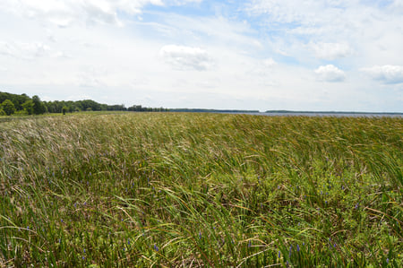
The Kissimmee River begins in Osceola County as it flows from East Lake Tohopekaliga. It continues on through Lake Tohopekaliga, Lake Cypress, Lake Hatchineha and through to Lake Kissimmee. Originally a natural flood plane, The Kissimmee River meandered for 134 miles.

During the hurricane season of 1947 that caused widespread flooding, Florida asked for federal assistance to cope with any future flooding. By 1954 the US government approved to dig canals for the Kissimmee River. Then from 1962 to 1970 the army corps of engineers decided to dredge a straighter track for the water to take. The distance of the river between the two major lakes went from 103 miles to around 56 miles.
Today, we know that this drastically hurt the environment. Instead of the river meandering through natural oxbows, the water quickly drained to Lake Okeechobee. At the river’s source, it has an elevation of 50 feet declining to 15 feet at Lake Okeechobee. The flood plains dried up. The herons, storks and other bird life began to disappear. People that fished the area before canalization said that catches of bass drastically dropped off. The local population began to take notice when their recreational activities in the large area began to suffer, such as airboat tours, fishing, birding etc.
The beginning of the Kissimmee River restoration project was approved in 1992, the army corps of engineers will finish the project by 2014. We see plenty of wildlife returning to the river, the the correct type of plants needed for oxygen production are back. Dry land areas have been shrinking. Biologists taking airboat tours of the area, report the fish population increase has led to the subsequent increase of birds and alligators. The restoration of the Kissimmee River is the largest ecosystem restoration project on the world, attracting biologists from all over the world. If you’re interested in experiencing this unique area taking an airboat tour will give you the best view.


